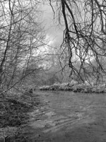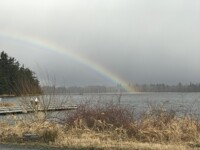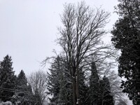
This is down at my neighborhood's private beach area near Cherry Point here in Washington. (State not DC, opposite coast) with not a bit of mud in the shot just a spectacular view of the waters of the northern Islands of WA and perhaps even some of the Canadian islands as well. Just a place of beauty and solace.
Category Photography / Scenery
Species Unspecified / Any
Size 1280 x 960px
File Size 295.5 kB
We use to live down at the corner of Point Whitehorn Rd and Algergrove Rd. just back from the bluff. The last time I was out there they had a gate across Point Whitehorn at Grandview and I'm guessing they also have a gate across Aldergrove at Jackson. There were three or four farms out there and six or seven homes. Dad use to land the Super Cub out at one of the farms because we knew the people that owned it, so it was a nice place to drop in on.
I looked on Google and the barns and houses are all gone now
I looked on Google and the barns and houses are all gone now
didn't give specific area, simply mentioned near Cherry Point, just sorta a little privacy thing. But, we drove out that way today and got all the way down by the water and Wow, what a great view!. The area is a tad foreboding with all the no trespassing signs posted on practically every upright, tree, and everything.
Practically everything in the area was purchased by the refineries at the thought of the controversial coal terminal, which is being perpetually stalled by the local tribes, much like the goings on of the DAPL idea, except that our local tribes seem to have a better hold on local leaders/people.
The area is quite beautiful but that beach had some old structure right on the water, some sort of conveyer belt looking system, do you have any idea what that was, or what operated from that beach. There are concrete pads indicating buildings that once were there, but nothing remains except for that odd structure?
CB

 FA+
FA+


Comments